Geometrie
Bildinfo und Lizenz
© 2016
- 2026
Basiswissen|
Ausgewählte Themen der Geometrie|
2D-Figuren|
3D-Figuren|
Trigonometrie|
3D-Vektoren|
Topologie|
Gekrümmte Räume|
Ist die Geometrie empirisch?|
Fußnoten
Bildinfo
- Geo für die Erde und metrie für Vermessung: Geometrie hieß ursprünglich so viel wie die Vermessung der Erde.
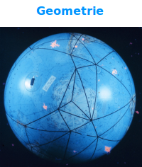
- NOAA-Description: A global model of the satellite triangulation network.
Source
- Date: Not later than the year 2018
- Author: Unknown
- Credit: NOAA
License
Images in the NOAA Photo Library are in the public domain and cannot be copyrighted. There is no fee for downloading any images on the site. Educational use is encouraged as the primary goal of the NOAA Photo Library is to help all understand our oceans and atmosphere.
Originalseite
- Das Bild ist Teil eines online-Lexikons.
- Rhetos Lernlexikon Mathematik, Aachen:
- Siehe unter 👉 Geometrie